The weather pattern, which raises global temperatures and rainfall, has an 80% chance of forming before September, and 90% before November, the World Meteorological Organisation (WMO) said yesterday.
It found most models projected the return of the cyclical phenomenon in the ocean and atmosphere to be "at least moderate" in strength, and possibly strong. Scientists have warned it could be the strongest this century.
However, the WMO said forecasters are still in a window of uncertainty.
"The spread is large," said Celeste Saulo, the secretary-general of the WMO. "There are models that are not providing any indication of a strong El Niño, while others are doing so."
António Guterres, the UN Secretary General, said the world "must treat it as the urgent climate warning it is… El Niño conditions will pour fuel on the fire of a warming world. Impacts will hit even harder, travel even farther, and cross borders with devastating speed."
The most recent El Niño, in 2023- 24, was one of the five strongest on record and contributed to a scorchingly hot year in 2024 that broke global temperature records.
The WMO said unusually high temperatures were forecast in nearly all parts of the planet for the next three months, and warned of extreme rain and drought.
Read more
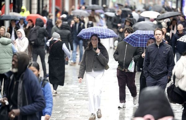
The finding comes as western Europe emerges from an unusually hot May when Irish temperature records for the month were broken.
Last week, 28.6C was recorded at Shannon Airport, provisionally breaking the record for the highest temperature ever documented in May by Met Éireann.
That was broken 24 hours later, with a baking 30.5C recorded at the same location.
Last week, the WMO and the UK Met Office warned a record-breaking hot year was almost certain before the end of the decade, with the expected return of El Niño likely to make that come as soon as 2027.
* This article was originally published on Extra.ie.


Comments