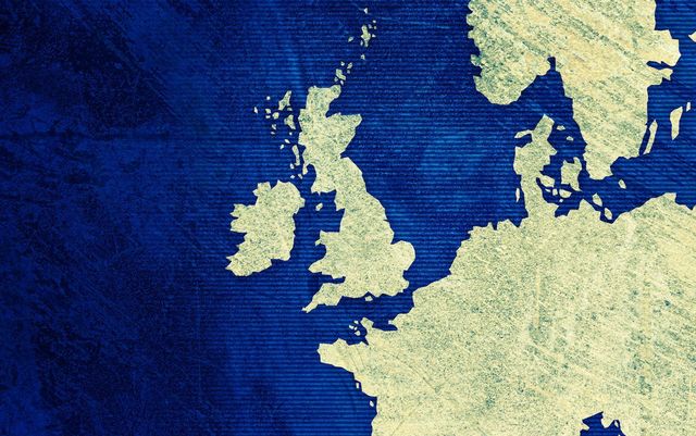
Ptolemy, a famous Greek astronomer and cartographer, produced an incredibly accurate map of Ireland, even though it was penned way back in 140AD.
A map created by the Greek astronomer and cartographer Claudius Ptolemy around 140 A.D. is considered the oldest surviving representation of Ireland.
In his treatise “Geographia,” Ptolemy provided coordinates for various geographical features of the island, from which maps were later created in the 15th and 16th centuries.
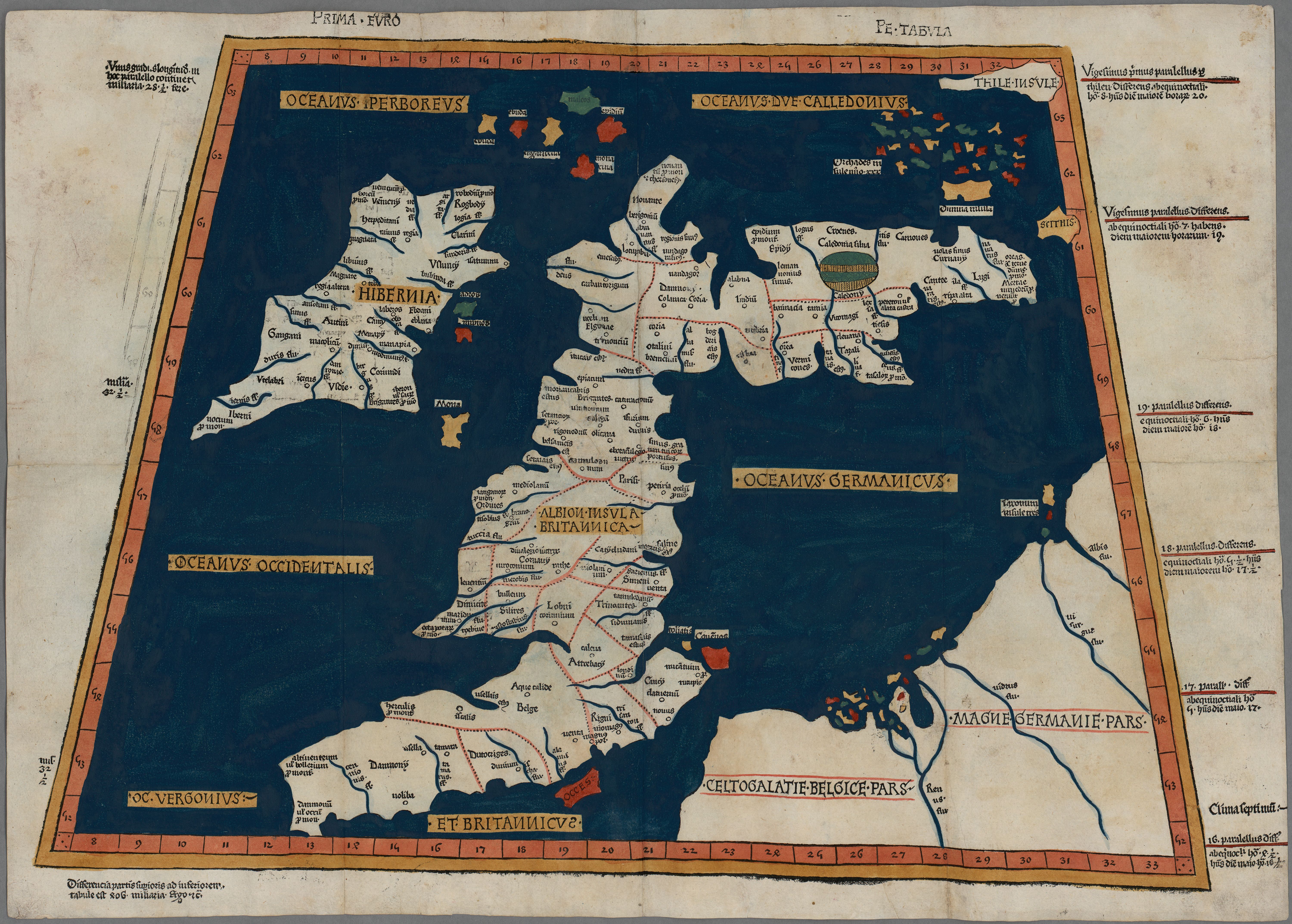

Prima Europe tabula. (Public Domain / National Library of Wales)
Ptolemy’s Roman-era “map” looks much like today’s Ireland, save for a few discrepancies. This map is consistent with some intimate Mediterranean knowledge of Ireland, its peoples, coastal features, and principal places. He called Ireland “Iouerníā,” which is thought to mean “abundant land” and from which the Irish names Ériu and Éire derive.
The ancient Irish settlement Eblana, shown on the map, is believed to be the same site as modern-day Dublin. According to James Hardiman’s “History of Galway,” Ptolemy handed down names of several rivers, cities, and tribes then situated on the west coast of Ireland. However, it is often noted that Ptolemy did not seem to have much knowledge of the interior of the country – beyond the coast and trade.
These early maps would have been drawn up on the basis of charts and pilots' diaries, created by sailors from Greece, Rome, and the surrounding Mediterranean area. Therefore, the firm knowledge of the coastal areas makes sense.
His map shows two Celtic royal capitals called "Regia": one in the Ulster area of Eamain Macha (present-day Armagh) and the other in the area where Turoe and Knocknadala are located. Roughly halfway between the two sites' names, there is a place named "Rhaeba." This is somewhere in the region of Rathcrogan, or Donamon, or possibly Castlestrange, in Roscommon.
It also labels "Knocknadala," which in the language of the Celts meant "Hill of Parliament." Research Scientist Dr. Kieran Jordan produced notes on the 40 years of research work carried out by Fr. Tom O'Connor around the Turoe/Knocknadala area. This work suggests that the so-called ancient royal Celtic site of Tara, in County Meath, was, in fact, located at Turoe in County Galway, which would be consistent with Ptolemy's map of Ireland.
Ptolemy lived from around 87 to 150 A.D. He spent much of his life in Alexandria (Egypt), but it seems that he originally came from Greece.

Love Irish history? Share your favorite stories with other history buffs in the IrishCentral History Facebook group.
Astronomer, mathematician, and geographer, Ptolemy played a key role in shaping history and cartography as we know them. It was Ptolemy who realized the Earth was round, who corrected the Greeks' geocentric view of the universe (that the Earth was at the center of everything, and rationalized the motions of the planets) prevalent in his time.
Historians believe it is likely that the Tralee-born monk and navigator St. Brendan (circa 484 - 577) would have known of, and possibly used, Ptolemy's maps and navigational aids.
Even up to the time of Christopher Columbus, Ptolemy's eight-volume "Guide to Geography" remained the principal work on the subject.
* Originally published in August 2015. Updated in July 2026.

Comments