Storm Ciarán was named by the UK Met Office on Sunday, October 29, with Met Éireann forecasting that the storm is due to pass close to the south coast of Ireland on Wednesday night, November 1.
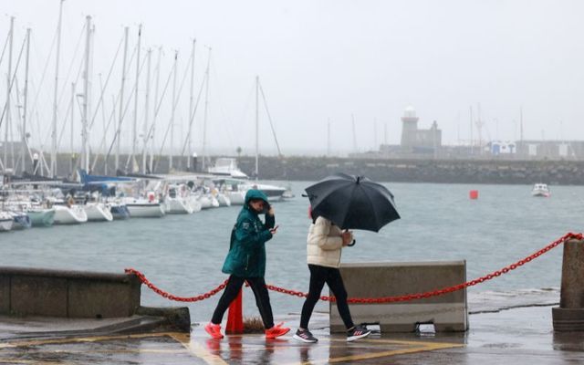
In an advisory for the entire country, Met Éireann says that on Tuesday and Wednesday, there will be heavy showers or longer spells of rain at times with flooding likely in places, as soils are saturated and river levels are high.
Squally showers on Wednesday morning will be accompanied by very gusty conditions.
Later Wednesday and on Thursday, further rainfall associated with Storm Ciarán may lead to flooding. It is likely that the heaviest rain will be in southern and eastern coastal counties.
Met Éireann said additional impacts include poor visibility and difficult/dangerous driving conditions.
Several weather warnings are in place across Ireland and Northern Ireland ahead of Storm Ciarán.
A Status Yellow rain warning is in place for Co Kerry until 12 pm tomorrow, November 1. Met Éireann has warned that rain, with heavy falls at times, could cause localized flooding, difficult travel conditions, and poor visibility.
Met Éireann noted that the UK Met Office has issued a yellow rain warning for Cos Antrim, Armagh, Fermanagh, Tyrone, and Derry, valid from 9 pm on Tuesday through 9 am on Wednesday.
The UK Met Office warned: “Another period of heavy rain is likely to bring some flooding and transport disruption across Northern Ireland.”
A small craft marine warning for all coasts of Ireland is in place through midnight tonight, October 31, through 6 pm on Wednesday. Southeast to south winds will reach force 6 or higher on all Irish coasts.
On Wednesday, a Status Yellow wind warning for Cos Clare, Kerry, and Galway will be in place from 5 am - 11 am. Met Éireann warns of “strong and very gusty westerly winds, accompanied by squally showers.” Possible impacts include difficult traveling conditions and wave overtopping.
Later on Wednesday, a Status Yellow rain warning will be in effect for Cos Carlow, Kilkenny, Wexford, Wicklow, Cork, and Waterford from 7 pm through 7 am on Thursday. Met Éireann warns that “further rainfall associated with Storm Ciarán, combined with saturated ground conditions and high river levels, may lead to flooding.”
A Status Yellow gale warning advising of southeast winds reaching gale force 8 at times from Rossan Point to Malin Head to Belfast Lough is valid from midnight tonight through 9 am on Wednesday.
A Status Yellow gale warning advising off westerly winds reaching gale force 8 at times from Strangford Lough to Dungarvan to Rossan Point and on the Irish Sea is valid from 2 am through 10 am on Wednesday.
Another small craft marine warning for all coasts of Ireland comes into effect at 8 pm on Wednesday, valid through 12 pm on Thursday. Easterly winds, gradually backing northwesterly, will reach force 6 or higher at times.


Comments