Archaeologists in Cork uncovered the foundations of a 5,700-year-old Neolithic house in addition to evidence of Iron Age smelting and Bronze Age burial sites in 2020.
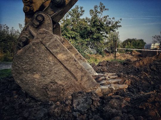
The archaeologists excavated a total of eight sites as part of two road realignment projects on the N73 road which links Mallow and Mitchelstown in Co Cork.
The excavations were carried out near the villages of Shanballymore and Kildorrery and archaeologists discovered foundations of a house dating back to 3700BC at one of the sites.
They believe that the house belonged to some of the first farmers to inhabit the area.
The excavations at the Neolithic house also uncovered grain, pottery, and stone tools dating back to the same period and the archaeologists believe that the people who inhabited the house would have been pioneers for Irish farming.
The Irish Examiner reports that farming knowledge only arrived in Ireland around 200 years before this house was built, meaning that the settlement is one of the oldest farming settlements on the island of Ireland.
Archaeologists also discovered evidence of ritual sites dating back to roughly the same period at the settlement.
They found evidence of stone tools and pottery deliberately buried in holes in the Middle Neolithic era (3500BC to 2900BC) in a form of ritual that may have been associated with human burials. The tools and pottery may have been buried as an offering of gifts for the gods of the underworld.
There was also evidence of a barrow cemetery dating back to the Bronze Age nestled by the banks of a meandering stream and overlooked by a nearby settlement.
At a different site in the townland of Waterdyke, archaeologists found evidence of charcoal pits required in the smelting process to produce iron. The pits date back to between 266AD and 1244AD while further evidence of smelting was also found at Annakiska South.
There was also evidence of a 17th-century enclosure at Annakiska South as well as clay pipes and glass in addition to evidence of a 17th-century smithy situated on the original road that would have made horseshoes for travelers passing between Mallow and Mitchelstown.
Cork County Council and Transport Infrastructure Ireland (TII), who carried out the excavations and the roadworks, published an "online story map" documenting the archaeologists' results.
The online map, created by TII project archaeologist Ken Hanley and Cork County Council resident archaeologist Ed Lynne, also documents previously discovered sites along the route and can be viewed here.


Comments