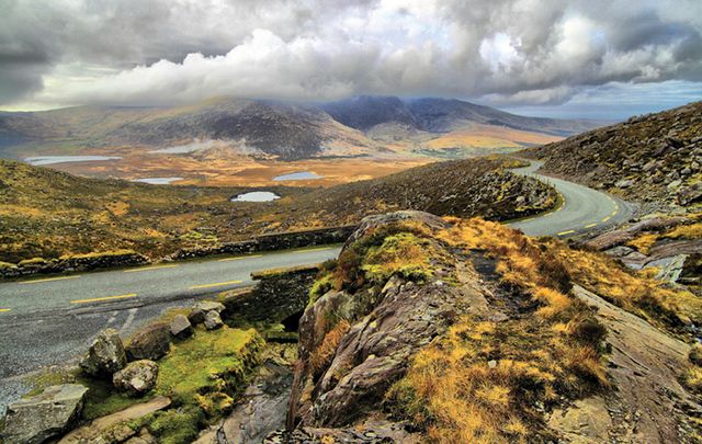
Would you love to explore the pilgrim paths of Ireland, the burial grounds, bat landscapes, maritime collections and/or walled towns? Now you can do all of this online from your phone, tablet or personal computer before you even begin your vacation in Ireland.
A new site, HeritageMaps.ie allows you to find museums, archaeological sites and little-known national monuments in your area of interest. Its system allows you to look at a wide range of built and natural heritage datasets in map form, many of which have never been accessible to the public before.
Speaking about the launch of this new and imaginative viewer the Minister for Arts, Heritage, Regional, Rural and Gaeltacht Affairs, Heather Humphreys, said, “The Government’s recently launched Creative Ireland Programme commits us to building a legacy of 2016 around our cultural heritage and encourages us all to play a part in placing our rich cultural heritage, and its potential, at the center of our lives. This new online tool will help people to do just that, by providing new ways to access information on their local heritage.
“Heritagemaps.ie should appeal to a wide audience and will be of use to people of all ages, from heritage enthusiasts, to school children and professional planners. It’s great to see a variety of agencies working together with the Heritage Council to produce this very useful online tool which will make accessing heritage information easier than ever before.”


Logo for HeritageMaps.ie.
The viewer was originally created as a planning tool for local authorities at county level. It presented collected and collated data from local authorities, state agencies and government departments in order to better inform professional planners and planning decisions.
The viewers’ potential for the education, research and tourism sectors soon became very apparent and the Heritage Ireland undertook a redesign of the viewer to make it more user-friendly and instinctual to use. It is hoped that the viewer will become widely used as a means of discovering and exploring both well-known and unrealized elements of Ireland's extremely rich natural, cultural and built heritage.
The site has something for everyone’s exploration of Ireland – from coastal vegetation surveys to mountain geology, and from prehistoric monuments to the latest satellite images.

A screengrab of some of the data available for Kerry.
HeritageMaps.ie contains over 600 datasets displayed in map-form, containing up to 150,000 individual points of interest. It has detailed species and habitat data; information on all the museums, archives and collections on the island; in-depth archaeological and architectural records; quirky and interesting local maps on mills and kilns, mines and bridges, follies and railways, towers and castles, and the list goes on.
The viewer also brings heritage alive for a much more technologically savvy younger generation, something which the recent Creative Ireland Programme talks about – "enabling the creative potential of every child." The viewer is constantly being updated and added to and its launch now could not be more timely in helping communities, the length and breadth of Ireland, to realize the potential offered by investing in initiatives that will encourage heritage-led regeneration.”

Some datasets available for Monaghan on HeritageMaps.ie.
Explaining how the platform works, Pat Reid of HeritageMaps.ie said, “The viewer builds up national coverage of heritage datasets from local authority sources as well as using existing national datasets. It uses web services to access live data where possible, increasing data reliability. Users can also create cross-disciplinary views from hundreds of datasets – crossing over administrative boundaries, subject boundaries, and the land-sea boundary.”
HeritageMaps.ie has been developed by the Heritage Council, working over the past 18 months with local authorities, the National Biodiversity Data Centre, the Discovery Programme and Compass Informatics.
Read more: Have you seen the first known map of Ireland from 140AD?


Comments