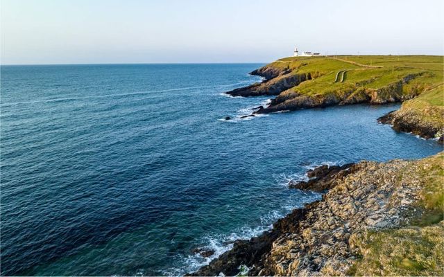
Ireland is set to become the first country in the world to complete seabed mapping, providing key data for coastal and inshore developments.
Geological Survey Ireland (GSI) and the Marine Institute have been undertaking deep-water hydrographic and geophysical survey operations in Irish waters since 1996 and aim to complete Ireland's seabed mapping by 2026.
GSI and the Marine Institute's Integrated Mapping for the Sustainable Development of Ireland’s Marine Resource (INFOMAR) project has been mapping Ireland's seabed in comprehensive detail, providing data for navigation charts to improve safety at sea and suggesting suitable sites for wave, wind, and tidal generators.
The data will also be used to select cable and pipeline routes, improve fishing efficiency, and aid pre-drilling site evaluations for oil and gas companies.
The data can also assist local tourism, providing shipwreck information, 3D maps, story maps, and charts in coastal areas around Ireland.
GSI and the Marine Institute are set to provide an update on its historic sea mapping project at Geopark Academy 2024, a two-day conference organized by the Burren and Cliffs of Moher UNESCO Global Geopark.
The conference will take place at the Burren College of Art in Ballyvaughan on May 25 and May 26 as part of European Geoparks Network Week.
Felim O’Toole, a Hydrographic Surveyor with GSI, will deliver a keynote address at the event, focusing on the mapping of the seabed off the Burren and the Cliffs of Moher. O'Toole will also provide an update on INFOMAR's progress.
Meanwhile, Dr. Eamon Doyle, a Geologist with the UNESCO Global Geopark, will open the two-day conference next month.
Doyle said the Burren contains "fascinating clues to conditions on Earth more than 300 million years ago. The oldest rocks visible on the Burren’s surface were formed during the Carboniferous period, approximately 330 million years ago. These limestone rocks formed in shallow, warm, tropical seas. Scientists come from all over the world to see what we have here".


Comments