A stunning 15-foot map of Ireland with each county carved in local stone has been unveiled in Glencolmcille, Co Donegal.
Clocha na hÉireann is a collaborative 1916 commemoration work between stone masons from every corner of Ireland. They each used stone native to their county to produce a magnificent carving that represented an aspect of their cultural identity.
Carvings included everything from county emblems to representations of local mythology, geographical features, architecture and history. It was undertaken as part of the annual Tirconnell Stone Festival.
Stone mason Louise Price from the festival committee said: “The physicality of the stone is just the beginning. There’s a whole layer upon layer behind that of meaning, complexity, of identity and we’ve only just scratched the surface.”
From a piece of the Giant’s Causeway depicting Antrim to a stone from the townland of the Cavan carver Adrian Smith’s Grandfather, every county carries its own story.
“Monaghan is made out of a flagstone from the floor of an old pub that was also a shop,” said Ms Price. “This beautiful flagstone had been hoarded waiting for the right moment and when county duty called the carver took it out. The feet of his people were over and back on the top of that stone for generations. You can’t get more personal than that.”
Donegal was carved on sandstone by Clonmany stone mason Paul Phaid Cunningham who will represent Ireland in a major stone carving competition in Canada next month.
The only woman to have carved one of the counties is also based in Donegal. Caite Fealty carved Derry with an oak tree from which the Irish name ‘An Doire’ derived.
“I still can’t really believe it,” she said. “I never thought I’d be involved in something like this. I had no idea how the stone would look on the map until I saw it. This 1916 commemoration is such a great thing to be a part of.”
Beneath Derry, both Tyrone and Fermanagh show hares.
Lorcan Dunne who carved Tyrone said the stone depicted the White Hare of Creggan symbolising love, rebirth and growth. Legend has it that the goddess Oestre used to change into a white hare when there was a full moon.
The white hare had particular significance in the ancient kingdoms of the area.
“They used to bring the white hare to the battlefield,” said Mr Dunne. “They would let it run off and whatever way it went would dictate what way the battle was going to be fought. They say it gave them a great advantage.
“Even now you see it over the door of people’s houses in the Creggan area.”
Michael McGroarty from the festival committee said the map gave a great opportunity to show the skill of stone masons from around the country.
“You have people working away in their own wee sheds at the back of their houses, doing great work but it’s probably not seen except in their local areas,” he said. “This is really going to highlight what they do. It’s a traditional craft that had nearly died off but there is a great revival for it now. The map and all the people that are here to see it highlights that.”
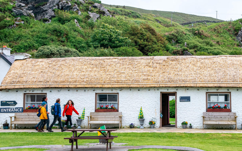
The stone map is located by the car park opposite the Glencolmcille Folk Village. It was unveiled on Saturday afternoon during the Tirconnell Stone Festival taking place in the south west Donegal village. Now in its third year, the festival celebrates the skill of stone masonry while making the craft accessible to people of all ages. The weekend workshops included stone carving, dry stone walling, classes for children and an archaeological tour of the area.
The unveiling of the map was without doubt a major feature of the festival. It was marked with a reading of the Proclamation of the Republic by Cavan man Eddie Farrelly. A three-gun salute was provided by members of Killybegs Gun Club in traditional costume on the hill above the monument. Louise Price told those gathered how the project unfolded and why it mattered so much to work with native stone.
Entertainment included pipe music, song and Irish dance, all adding to the celebratory atmosphere on the day. It was particularly emotional for the 32 carvers who were gathered together for the first time to see their work take its place on the stone map of Ireland.
It was testament to the overwhelming impact of the monument that those who were present stood in front of it in pouring rain long after the map had been unveiled. Some discussed the skill and the depictions, others waited in turn to touch the stones; everyone at some point found themselves simply standing and staring in an attempt to absorb the entirety, one county after another.
The people of Glencolmcille say they are delighted and honoured to provide a home for this unique symbol of Irish cultural and geographical unity. They look forward to welcoming everyone who comes along to witness it for themselves.
* Siobhán McNamara is a journalist and creative writer based in County Donegal. She works for the Donegal Post newspaper and donegalnow.com and her creative work can be found at siobhanmac.com.


Comments