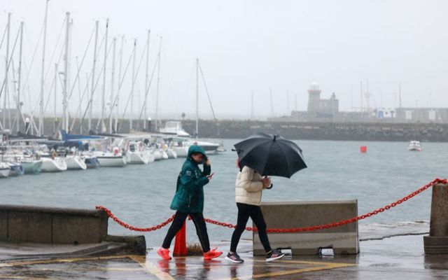
Ireland is set to be hit by Storm Kathleen on Saturday, April 6 after catching the remnants of Storm Olivia, which passed through Portugal in recent days, on Friday, April 5.
Met Éireann, Ireland's meteorological service, has named Storm Kathleen, the eleventh storm of the 2023/2024 season
.Storm Kathleen is a significant low-pressure system tracking off the west coast which will bring strong southerly winds and damaging gusts across Ireland on Saturday.
Storm Kathleen will bring gale force southerly winds, with some severe and damaging gusts?️
For more information on ⚠️#Stormkathleen ⚠️
Check out out our meteorologists commentary here⬇️https://t.co/gjN9OKdtdO pic.twitter.com/UHdbqC4bZM
— Met Éireann (@MetEireann) April 4, 2024
Met Éireann has issued a nationwide Yellow wind warning for Saturday with Orange level wind warnings coming into effect for counties Cork, Kerry, Galway, and Mayo at 7 am, valid until 5 pm.
The potential impacts of Storm Kathleen include very difficult travel conditions, fallen trees, some power outages, coastal flooding, and wave overtopping.
Met Éireann notes that Storm Kathleen will increase water levels on all coasts as we approach a period of spring tides. This will result in strong coastal winds, a rough sea state, and significant waves. Coastal flooding and wave overtopping is likely, especially at times of high tide.
The rain associated with Storm Kathleen will fall on already saturated ground, therefore water will make its way quickly into the rivers. Cumulative rainfall totals could lead to elevated river levels in western and southwestern areas.
Met Éireann said "it will feel quite mild too for this time of year, as the southerly airflow bring warm air over the country."
All of Northern Ireland will be under a Yellow wind warning from 8 am until 11 pm on Saturday.
Met Éireann cautioned that Storm Kathleen is a "dynamic system" so there may be updates to the warnings.
Liz Coleman, Deputy Head of Forecasting at Met Éireann, commented: “It is the end of the Easter holidays so there will be a lot of people travelling and they may not be expecting such unseasonably strong and gusty winds.
"Please make sure to plan your journeys in advance by keeping in contact with the forecast.
"We are likely to see some trees down due to the saturated soils and strong winds. There will be dangerous conditions at sea too, coupled with wave overtopping and coastal flooding in some areas.


Comments