Ireland could be set for snow showers on Friday night with temperatures expected to suddenly plummet by up to 12 degrees in certain areas.
Met Éireann, Ireland's meteorological service, has forecast chilly conditions over the next 24 hours but expects warmer spring weather to return early next week.
There will be scattered blustery showers on Friday morning with the risk of hail and thunderstorms, according to Met Éireann, while temperatures are expected to fall to between 5C and 9C.
Met Éireann says that conditions will quickly turn colder as the afternoon progresses, with temperatures set to plummet to -1C to 3C by Friday night.
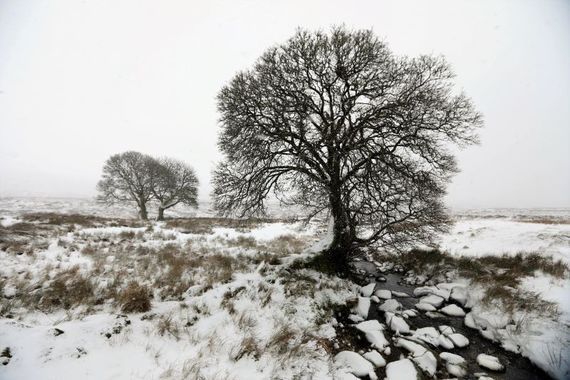
Scattered showers will continue into Friday night and carry the risk of hail, sleet, snow, and isolated thunderstorms.
The showers will gradually become confined to Atlantic coastal counties as Friday night progresses into Saturday morning, while there is also a risk of frost in sheltered areas.
Sunny spells & scattered blustery showers this morn,
some heavy,risk of hail & isolated thunderstorms.
?️⛈️
Showers more frequent this afternoon, some wintry. ?️
?️6 to 9C, turning colder through the aft.
?️Fresh to strong SW winds.More details➡️https://t.co/9gKN6SVok4 pic.twitter.com/GekXi62FTj
— Met Éireann (@MetEireann) March 26, 2021
The sudden drop in temperature is a result of a cold front moving over Ireland and northern Europe from the North Atlantic. The cold front is set to bring heavy snow showers to the Scottish Highlands over the weekend, while it will bring a cold spell to Ireland after a lengthy period of balmy spring conditions.
However, Temperatures are expected to rise to between 8C and 11C on Saturday, although heavy showers are forecast in the west and the northwest of the country.
Temperatures will rise to between 11C and 15C on Sunday and Monday, but Met Éireann says that wet and breezy conditions will persist into early next week.
Met Éireann advised Irish people to wrap up well if they plan on going for walks over the next 48 hours.


Comments