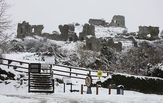
Ireland is set for January-like weather with "colder than normal" temperatures and the chance of snow on higher ground this week.
Ireland's meteorologists, Met Éireann, have predicted strong winds, colder than usual temperatures and snow on higher ground as Ireland is hit by unseasonably cold wintry weather this week. The weather will feel more like January.
The weather experts predict that Ireland could be hit by sleet and show, with wintry falls hitting the higher ground by Wednesday. Monday and Tuesday will be "very blustery" with sunny spells and showers and the possibility of hailstones falling in the east.
Cold today with sunshine & showers, some heavy with a risk of hail & thunder. The showers will be most frequent in the west & north with the best of the sunshine in the east. Highs of 6 to 9 degrees, but strong & gusty west to northwest winds will make it feel quite chilly. pic.twitter.com/V51pf5UWkm
— Met Éireann (@MetEireann) November 11, 2019
Daytime temperatures will range from 42F (6C) to 48F (9C), but west and northwest winds will make it feel colder. In some areas, temperatures could fall as low as 24F (-4C)
After a cold Tuesday night, with sharp ground frost, Wednesday will see the worst of this wintry weather.
Met Éireann warned, "Rain will spread countrywide quickly accompanied by strong winds too.
"The rain will be heavy and prolonged and may turn to sleet in places, especially over high ground in the north while continuing on Wednesday night."
More sleet is predicted for Thursday.
Met Éireann continued, "Further windy condition with outbreaks of rain or sleet in the east on Thursday but clearer dry weather will follow from the west later as winds ease.
Cold today with sunshine & showers, some heavy with a risk of hail & thunder. The showers will be most frequent in the west & north with the best of the sunshine in the east. Highs of 6 to 9 degrees, but strong & gusty west to northwest winds will make it feel quite chilly. pic.twitter.com/V51pf5UWkm
— Met Éireann (@MetEireann) November 11, 2019
"A widespread sharp or severe frost will follow for Thursday night."
Carlow Weather's Alan O'Reilly said on Twitter "A cold week ahead as we stay on the northern side of the Jet Stream snow here on charts. Low-pressure systems will move down from the northwest bringing spells of rain and possibly a wintry mix on high ground."


Comments